Skwellepil Creek Rec Site – Chehalis FSR
- biegandrew
- Dec 12, 2024
- 3 min read
Summary of Route
Type: Out and back; lakeside car camping
Rating: 3/5
Season: Any, but Spring to October recommended
Length: 31km one way from start of gravel road
Vehicle suitability: Any, with final approach requiring 4x4

The Route
The Skwellepil Creek Rec Site - Chehalis FSR overland route can be easily completed in half a day and at its culmination presents multiple beautiful camping sites along the shores of Chehalis Lake. The final destination of this route is very popular amongst the 4x4 community and as such, visiting on a weekday or in the off-season is recommended. Skwellepil Creek Rec Site is maintained by the 4wd Association of BC.
Access to the Skwellepil Creek Rec Site - Chehalis FSR overland route is found north of the town of Harrison Mills. If you have just completed our Harrison East route (found here), take some time to explore the quaint town of Harrison Hot Springs before heading west to begin this route. If you are coming from Vancouver, exit highway 1 as if proceeding to Mission. You will continue along highway 7, travelling north east, until the start of this route. Along this approach you will pass multiple gas stations; however, Leqamel Esso (GPS coordinates 49.17460, -122.08018) is our favourite spot to top up fuel and obtain any last minute items for this drive.
Regardless of the direction of your approach, you will be leaving highway 7 at the intersection with Morris Valley Road (GPS coordinates 49.25124, -121.95792) near the Sasquatch Inn. Shortly after entering Morris Valley Road and passing the Sasquatch Inn, you will take a left turn at the first 4-way intersection onto Chehalis FSR (GPS coordinates: 49.25377, -121.95459). The remainder of this drive is completed by staying on Chehalis FSR. Remain on the road in best condition and you will reach Skwellepil Creek Rec Site. Alternatively, google maps knows the way. Chehalis FSR is well maintained and most, if not all, vehicles should have no problem with this route until the final approach to Chehalis Lake.
After 2.7 km’s of travel on Chehalis FSR, you will reach Elbow Lake. Elbow Lake has several vehicle accessible campsites, located at the south end. While decent sites, we recommend continuing onto Chehalis Lake for bigger views and more of an adventure. Limited bouldering and sport climbing opportunities can be found at the north end of Elbow Lake (https://www.thecrag.com/en/climbing/canada/british-columbia/area/289672404) - presenting an opportunity for viewing or engaging in this activity.
The next 9 km’s have few points of interest; however, due to the quality of Chehalis FSR, one can cover this ground quickly. After having travelled approximately 12 km’s, views will begin to open up eastward. Several rivers are crossed on this drive, but all have well maintained single lane bridges. At approximately 21km and 26km, waterfalls can be viewed from the comfort of your vehicle.
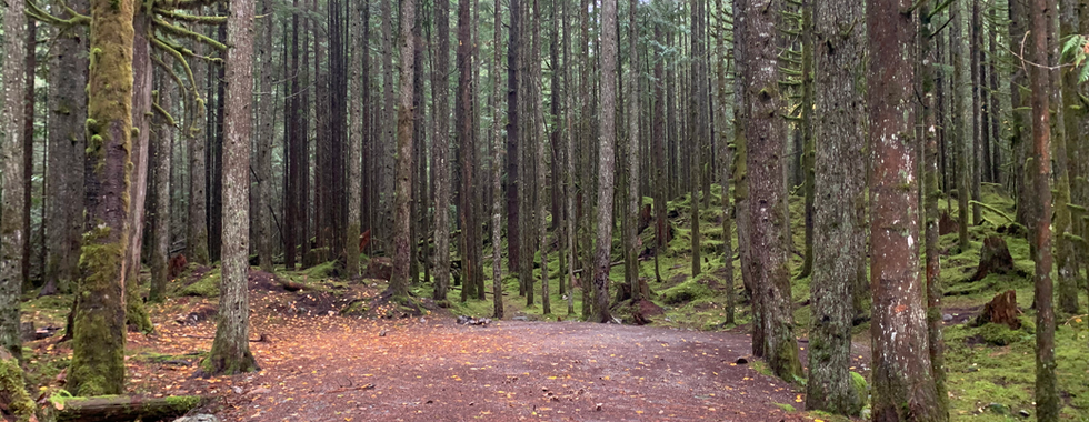
Before long, you will reach the access point to Skwellepil Creek Rec Site. We recommend parking your vehicle and walking the descending road before starting the descent with your vehicle, as conditions rapidly change from the easygoing Chehalis FSR. Remember that if you proceed down to Chehalis Lake you will need to return by this same route. That being said, any vehicle with 4 low should not have a problem with this final section. Should you be uncertain of your vehicle’s capabilities, it is a short walk down to the first sites located in the trees above Chehalis Lake. Another couple hundred metres will bring you to multiple open sites located on the shores of Chehalis Lake. Skwellepil Creek Rec Site has two outhouses maintained by the 4wd association of BC. As always, remember to pack out any of your trash and treat this area with respect.
If you're looking for other each routes in the area, consider checking out our Chehalis North Beach or our Harrison to Pemberton overland routes!


