Salsbury Lake and Grotto Falls – Lost Creek FSR
- biegandrew
- Jun 7, 2023
- 3 min read
Updated: Sep 24, 2023
Summary of Route
- Type: Out and back; lakeside car camping
- Rating: 4/5
- Season: Any, but Spring to October recommended
- Length: 23.2km, 15.7km without Salsbury Lake detour (one-way)
- Vehicle suitability: Modified 4x4 for lakeside car camping

The Route – Salsbury Lake
Located east of Stave Lake, the Salsbury Lake and Grotto Falls route is relatively short and provides access to free, lakeside camping with ample swimming opportunities. Due to the proximity to the lower mainland, attempt to arrive early if it is a weekend as there is only one camping site at Salsbury Lake that allows access to the developed docks as seen in the photos. There are many tent options at Grotto Falls; however, this is a popular spot on weekends. These sites, along with much of this area, has suffered from irresponsible users who do not clean up after themselves and we remind all users to pack out their trash.
As with our Twin Lakes route (found here) access to this short overland route is off of Sylvester Road, north of Mission. Lost Creek FSR and the shift from pavement to gravel begins at 49.27949, -122.22814 (shown below), slightly before Davis Lake Provincial Park. Lost Creek FSR begins as an extremely well maintained FSR and is suitable for all vehicles.


Road conditions begin to deteriorate as you reach the turn off for Salsbury Lake at GPS coordinates 49.34974, -122.22387, approximately 10km’s from the start of Lost Creek FSR. Bear left (west) at the below depicted intersection to reach Salsbury Lake. You will now be travelling on Lost Terepocki FSR. Lost Terepocki FSR begins as an easy FSR; however, after approximately 2km’s you will reach a creek crossing that requires a modified 4x4 (below middle and right image).


Should you be able to complete this crossing, the remainder of the drive to Salsbury Lake is relatively easy albeit narrow. After crossing Salsbury Creek, be sure to bear right at the first and second intersections (below left and right photos) and follow the most well maintained road at all subsequent intersections.


Salsbury Lake has several spots that can be utilized for vehicle camping; however, there is only one main area that allows for access to the dock and beach as depicted in the below photos.


The Route – Grotto Falls
Should you choose to continue to Grotto Falls or avoid the Salsbury Lake detour, do not take the left turn onto Lost Terepocki FSR but rather continue along Lost Creek FSR. While Lost Creek FSR does become less maintained at this point, it is still very much passable by a stock 4x4 or a crossover with all terrain vehicles.
As you continue along Lost Creek FSR, you will reach an excellent walk in access point for Salsbury Lake at 49.36004, -122.21422, approximately 1.5km after the Terepocki FSR turnoff. There is an open spot to park your vehicle as you complete the short walk to a beautiful site on the east side of Salsbury Lake. There is room for several tents at the lakeshore; however, if this site is already occupied you will likely be too close to your neighbors for comfort.


The remainder of the drive to Grotto Falls continues to follow Lost Creek FSR. Fortunately, views begin to open up as you pass Salsbury Lake.

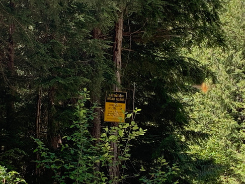
Unfortunately, the road to Grotto Falls has been decommissioned at the 16km mark and you will need to park your car at GPS coordinates 49.39508, -122.22515 and walk the remaining distance. While a workaround for vehicle traffic has been created, we strongly recommend that you walk the remaining distance. Further, the 4x4 track that will take you directly to Grotto Falls requires significant driving in Terepocki Creek. While Untrammelled Travels recognizing that overlanding will occasionally require crossing creek or streams, we do not agree with extended driving in stream beds due to the environmental damage. Accordingly, we have decided to not post further information about the vehicle route to Grotto Falls.


If you are walking to Grotto Falls, proceed past the decommissioned portion of the road until you reach the bridge over Terepocki Creek. Continue up Terepocki creek for approximately 0.5km until you reach Gotto Falls (GPS coordinate 49.39949, -122.22380). This path requires walking in Terepocki Creek at times; however, water levels are generally suitable to do so without risk. There are significant tent camping sites along all of Terepocki Creek in the Grotto Falls vicinity. Consider checking out the nearby Kenyon Lake hike, found here.


Looking for more challenging overland routes? Check out our Silver Peak and Upper Bridal Falls routes!