Kenyon Lake Rec Site - Coast Mountains
- biegandrew
- Jun 5, 2023
- 2 min read
Updated: Sep 14, 2023
Overview:
Kenyon Lake Recreation site is an excellent early season or beginner backcountry destination. The approach is entirely on former logging roads and vehicle access to this site has been restricted since August 27, 2021. It is likely that you will have this site entirely to yourself.
Summary of Route:
- Type: Out and back, early season lake camping
- Rating: 3/5
- Season: Spring to Fall
- Length: 3.1 km one way
- Duration: 1 night
- Difficulty: Easy

Access:
This hike is located north of Mission on the east side of Stave Lake. Overall the driving access to this hike is relatively easy; however, a stock 4x4 or a cross-over with all terrain tires is recommend as the approach road is somewhat rough. GPS coordinates for parking are 49.39508, -122.22515 (shown in the left photo below). Google maps provides the correct driving route if you enter these coordinates. Shortly after these coordinates the road is decommissioned and you will need to walk the remainder of the route to Kenyon Lake Rec Site.


The Hike:
The hike to Kenyon Lake Rec Site is entirely on former logging roads. Due to the proximity to the lower mainland, low elevation and easy of this hike, it makes an excellent beginner backcountry route. Total distance is approximately 3.1km with 188m of elevation gained.
After parking, you will continue along the main logging road (Lost Creek Forest Service Road) and over the decommissioned portion of the road. Shortly thereafter you will cross over Terepocki Creek. If you have extra time, we recommend a short detour to Grotto Falls. To reach Grotto Falls, simply proceed upstream. At portions you will need to cross Terepocki Creek; however, the water is not deep and this should be relatively easy.


After crossing the bridge over Terepocki Creek, you will continue along Lost Creek Forest Service Road until GPS coordinates 49.39060, -122.23522, approximately 1.6km’s from where you parked your car. At this point proceed uphill as depicted in the below photo.


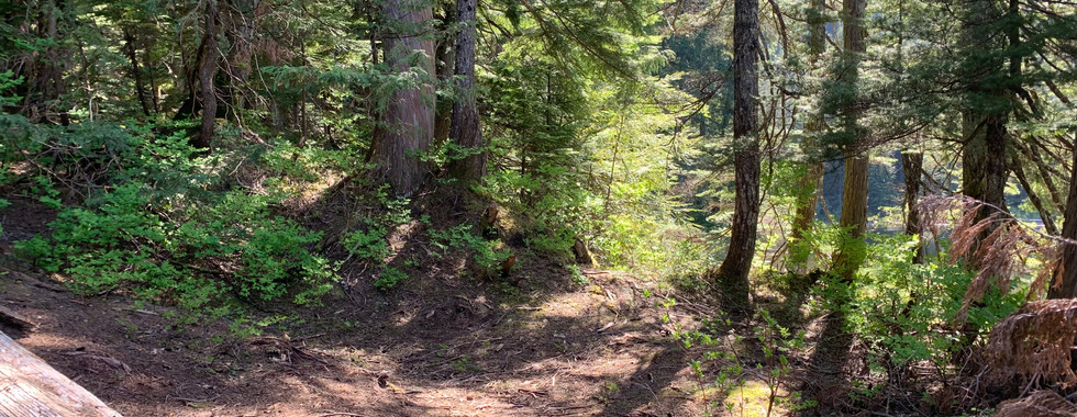
Continue along this road. There are several side branches; however, follow the road in best condition and you will reach your campsite at GPS coordinates 49.39982, -122.24358. Approximately 100m prior to your site, be sure to take the left turn in the below depicted photo. Alternatively, take a right at this point to continue exploring around the east side of Kenyon Lake.

There are several spots where a tent could be pitched at Kenyon Lake. Additionally, there is an outhouse in place although we did not examine what condition it is. Back when this site was vehicle accessible BC Rec Sites stated that the small island on Kenyon Lake was suitable for overnight camping. It should be noted that while the road to Kenyon Lake was decommissioned in 2021, there was evidence of 4x4’s at the Kenyon Lake Rec Site when we completed this hike in June, 2023. However, the final 1.5km of the approach road to Kenyon Lake Rec Site is extremely difficult for vehicular travel and only very capable vehicles will be able to access this site. Accordingly, it is likely that you will have this site to yourself.